Spatial Environmental Analytics and Remote Sensing Lab
Our Projects
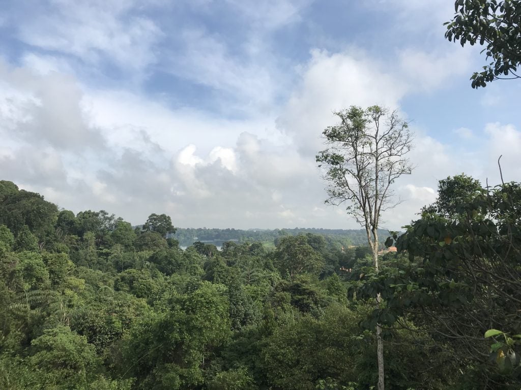
Validating and Improving Satellite-based Forest Carbon Estimation in Southeast Asia
Ankit Sagar
This project aims to map and improve the forest abovegound biomass estimates in Southeast Asia by linking remote sensing data with ground-based data.

Conservation of Mangroves for Climate Resilience
Robyn Gwee
Mangroves offer a host of benefits such as protecting lives, supporting livelihoods and contributing to climate mitigation goals. Under climate change and future land-use changes, conservation strategies may need to be adapted to evolving pressures. My research focuses on quantifying benefits of mangroves, as well as assessing conservation strategies for mangrove ecosystems in the current and changing climate.

Remote Sensing of Tropical Peatland Forests – Brunei
Maria Elizabeth Rodriguez Ronderos
This project aims to improve tropical forest peatland above-ground biomass estimations using traditional ground forest surveys, Terrestrial LiDAR scanning (TLS) and Drone LiDAR scanning (ULS). We further aim to understand the effects of human disturbance at the edge of peatland forests in Brunei, and the impacts on their geomorphology, ecology, biodiversity and biomass.

A Blue Carbon Framework for Singapore’s National Climate Change Policy
Peiyang Qiao
Sai Qu
This project’s main aim is to understand the integration of blue carbon in Singapore’s national climate change mitigation targets. This project combines an interdisciplinary approach to mapping blue carbon at site and national scale, understanding changes in blue carbon and future projections. Public and private stakeholders are also engaged to create a roadmap of blue carbon as a climate change policy option for Singapore. This project is based in the Department of Geography.